Fortini Trail Site Plan
Santa Clara County, California
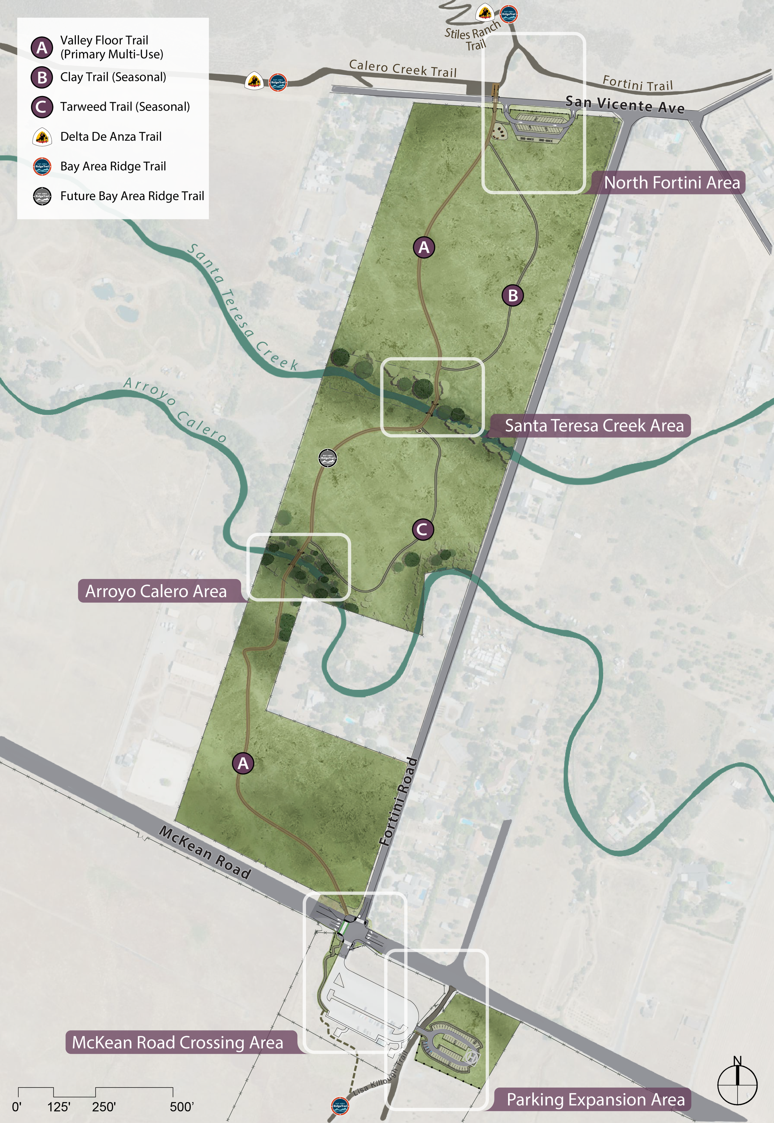
Zander Westbrook Design is working with Santa Clara County Parks and Recreation Department to plan a multi-use regional trail connection between Santa Teresa and Calero County Parks. The final project will include a conceptual site plan for the trail connection, two road crossings, two stream crossings, and detailed hydrological analysis due to the flood plain location. The project also includes CEQA clearance, which will allow the County to move forward with final design and construction as soon as funding is available.
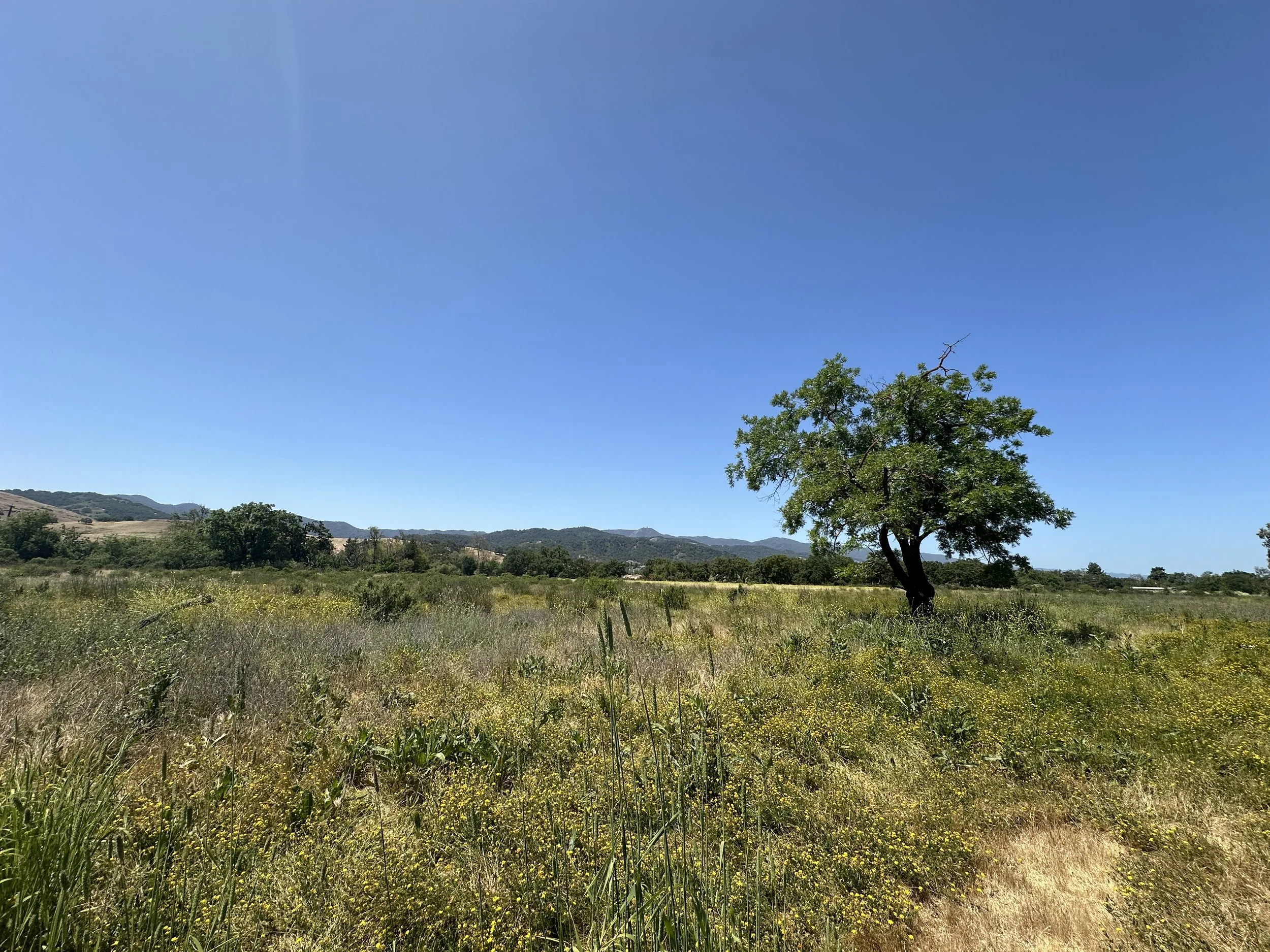
A primary design challenge has been the low-lying, flat nature of the site, particularly in accommodating trail connectivity while addressing seasonal flooding. Additionally, two stream crossings require bridges elevated above wet-season flows, which in turn influence the trail grades on either side. In response, the design incorporates a 3–6 inch elevated trail profile with a rock base layer where feasible, along with earthen ramped approaches to meet bridge elevations. This approach ensures the trail meets both outdoor accessibility requirements and multi-use trail design guidelines while maintaining resilience to flood conditions.
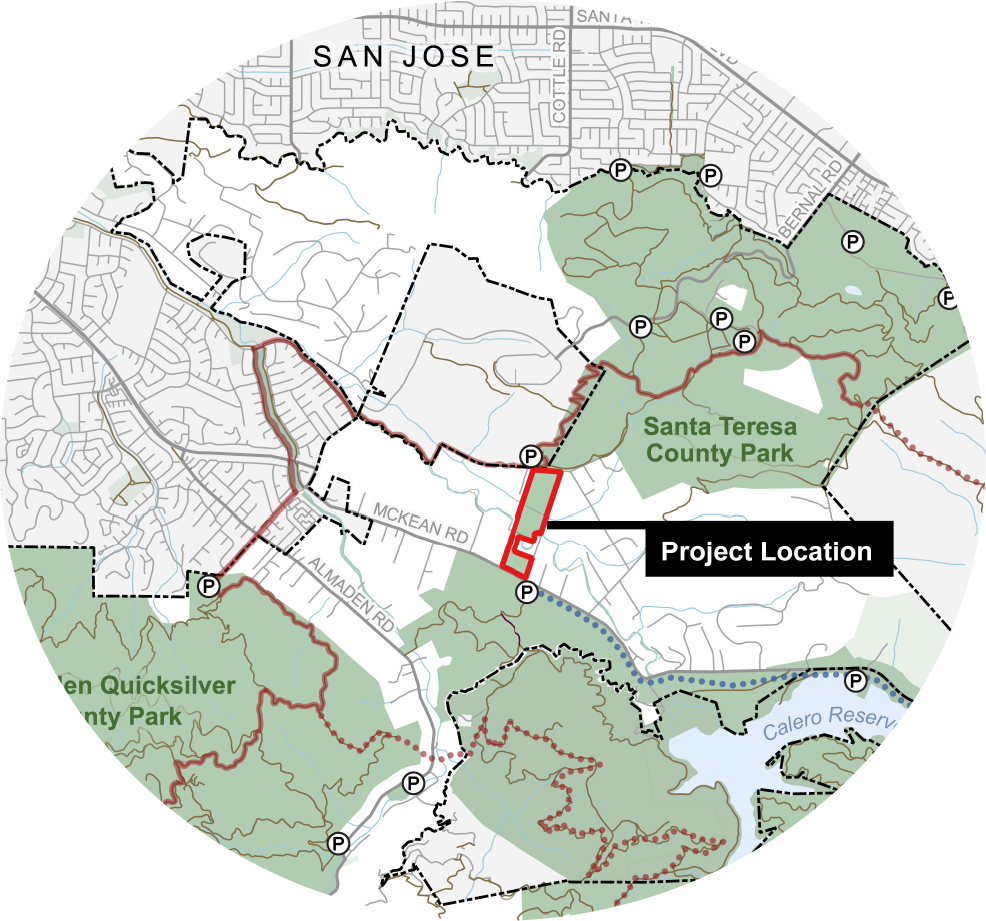
The Fortini Property is located parallel to Fortini Road in San Jose between McKean Road and San Vicente Avenue and is an extension of Calero County Park. The goal of the project is to accommodate and appropriately address the diverse recreational needs of the community of Santa Clara County, while simultaneously protecting and preserving the natural and cultural resources.
To learn more visit Fortini Property Site Plan website
Client: Santa Clara County Parks and Recreation Department
Project Dates: 2023 - Present